Collins Europe 2009 - Big Road... ár és hasonló termékek


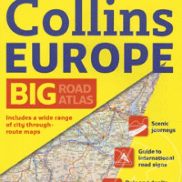
Collins Europe 2009 - Big Road Atlas jellemzők
The atlas includes:
-Route planning section including maps for long distance route planning, motorway services information and a handy distance calculator chart.
-Easy to use, clear road maps at a scale of 3.2 miles to 1 inch (1:200,000) of England, Wales and Southern Scotland. Northern Scotland is shown at 5 miles to 1 inch (1:316,800).
-21 urban area approach maps at 1 mile to 1 inch which clearly show the best routes through and into the busiest built-up-areas.
-56 street maps focussed on town centres showing places of interest, car park locations and one-way streets.
-Fully updated fixed speed camera sites with the roads covered by average-speed cameras clearly highlighted.
-Locations of alternative fuel sites (LPG, Biodiesel, Bioethanol, Natural Gas and Electricty recharging points) as supplied by the Energy Saving Trust.
-A map showing the risk rating of Britain's major roads, courtesy of the Road Safety Foundation.
-World Heritage Sites located with contact details and brief descriptions.
-Over 30 categories of places of interest including castles, theme parks, sports venues, universities, mountain bike trails and surfing beaches.
-Park and Ride locations, ideal when visiting towns and cities.
-The top 1000 most visited places of interest are indexed with full postcodes to aid integration with satnav systems.
-This atlas is ideal for any driver of any vehicle who prefers a large format road atlas and requires the latest information and extremely clear map detail.